
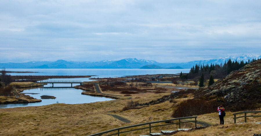
Iceland’s Golden Circle is a loop of roughly 230 to 300 kilometres through the south-west of Iceland, and it fits a surprising amount into a single day. Within a few hours of Reykjavík, you can walk through a rift valley where two tectonic plates are slowly drifting apart, watch a geyser throw boiling water into the air every few minutes, and stand at the edge of a waterfall that appears to vanish into the ground. Many travellers arrive with a layover or a short stopover and wonder what to do with 24 hours in a country this size, and this route is one of the most practical answers, since it’s an easy day trip from the capital.
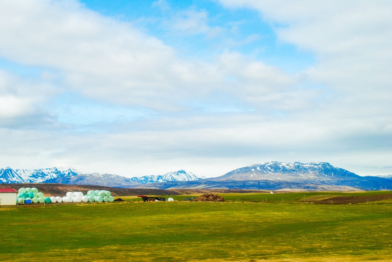
You can see the Golden Circle on a tour bus or rent a car and do the drive yourself. There is something so freeing about going it on your own since you can control your schedule, but we opted to go on a small bus tour. We LOVED our guide, and there is nothing like hearing stories from the locals about the new country you’re visiting. While driving can be more personalized, gas is very expensive in Iceland, so be sure to keep that in mind.

Before you go
The classic three stops take 6 to 8 hours including driving (the driving alone is about 3.5 to 4 hours), and adding Kerið and Hellisheiði pushes it toward a full day. Distances run roughly 45 to 50 kilometres from Reykjavík to Þingvellir, 60 kilometres on to Geysir, 10 more to Gullfoss, and 110 to 130 back to the city. Prices and hours below come from sources published in 2026 but change seasonally, so confirm before you go.
| Stop | Cost |
|---|---|
| Þingvellir | Free entry; parking 1,000 ISK per day for a car with up to five seats, valid in all the park’s lots (pay at machines or online) |
| Haukadalur (Geysir, Strokkur) | No admission reported; check for any parking charge |
| Gullfoss | No admission reported; toilets at the car park may charge |
| Kerið | About 700 ISK (listed spring 2026); parking free |
| Hellisheiði Geothermal Exhibition | Admission fee; confirm current price |
Tips for the Journey
- Winter conditions. The roads on the main route are maintained in winter, but daylight is short (a few hours in December), and paths ice over at Gullfoss and Þingvellir. The park advises good shoes and microspikes, and only the paths from the P1, P2 and P5 lots are cleared of snow.
- Lunch. The Gullfoss café fills up around midday, so arriving before noon or after 2:00 p.m. helps.
- Silfra. Snorkelling or diving is booked through operators who collect a separate Silfra fee, and it adds hours to the day.
- Driving versus a tour. A rental car lets you set your own schedule, though fuel in Iceland is expensive. A small-group tour handles the driving and usually brings a guide who knows the history; either way, check road and weather conditions on road.is and safetravel.is before you set out.
Þingvellir: the rift and the parliament
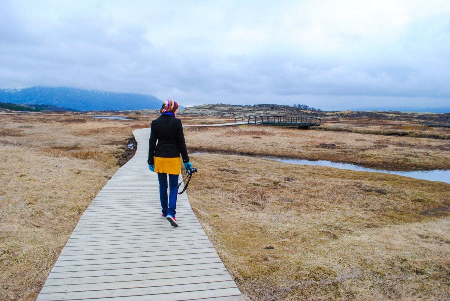
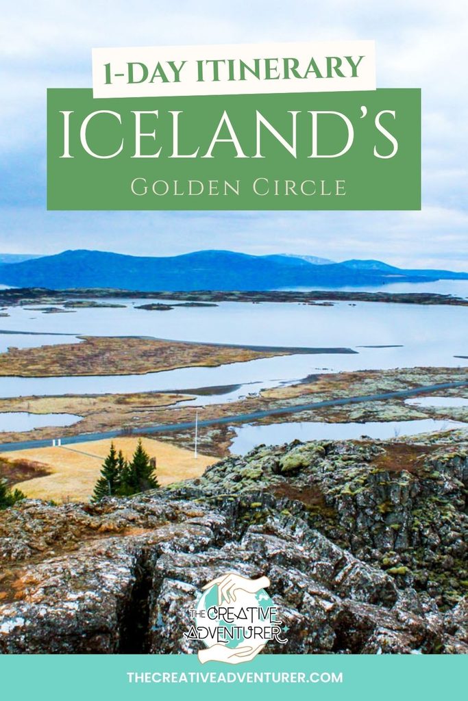
Þingvellir is roughly 45 minutes from central Reykjavík, and one to two hours is enough for the main walk. It became Iceland’s first national park in 1930, timed to the thousandth anniversary of the Alþingi, the national assembly founded here in 930 and often described as the world’s oldest surviving parliament. UNESCO listed the site in 2004. The name is as literal as place names get: þing is assembly, vellir is fields.

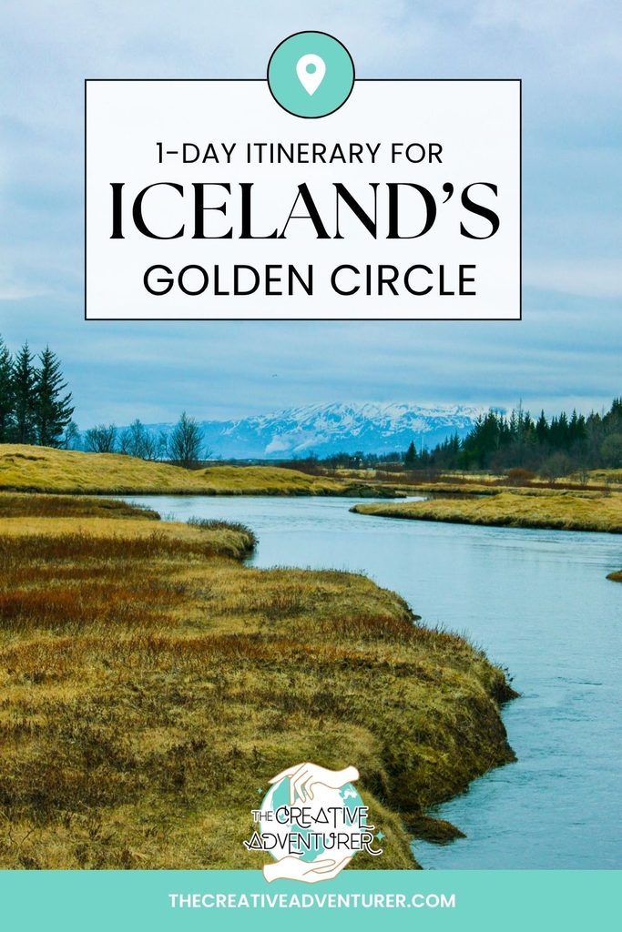
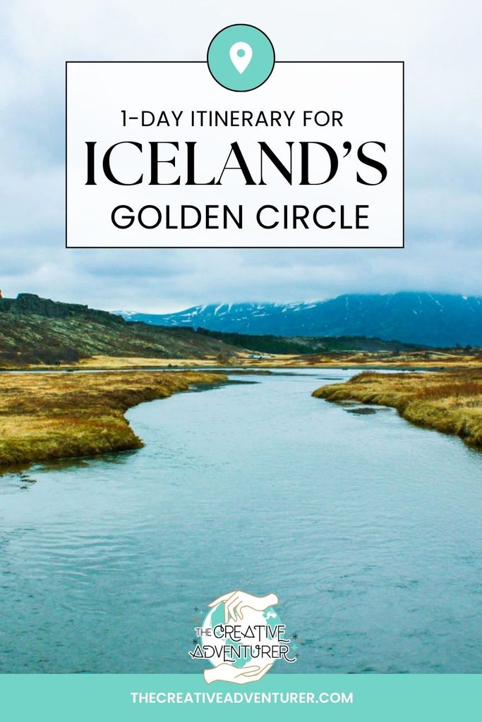
The geology and the politics are the same story. Þingvellir sits on the Mid-Atlantic Ridge, where the North American and Eurasian plates pull apart at about two centimetres a year (roughly the rate your fingernails grow), and as they separate the land between them sinks into a rift valley. Start at the Hakið viewing platform and visitor centre, which has exhibits on both the tectonics and the Alþingi, then take the boardwalk down into Almannagjá, the largest of the fissures. The cliff beside you is the edge of the North American plate, the valley floor has dropped away in front of it, and the Eurasian side is across the way. The walls are layered basalt.

Amphitheatre
The gorge also made a useful amphitheatre. For every summer from 930 until the assembly stopped meeting here, chieftains and their followers gathered for about two weeks to settle disputes and make law, and in the early centuries the crowds could run to thousands. The Law Speaker, elected for a three-year term, was required to recite a third of the legal code from memory each year at the Law Rock (Lögberg), because none of it was yet written down. A flagpole now marks the spot, though scholars still debate exactly where the rock stood, and two candidate sites have been proposed. It was here, in the year 1000, that the assembly decided Iceland would convert to Christianity, and here in 1944 that the republic was proclaimed. The assembly was also a court, and some of the nearby place names (Gallows Rock among them) record how it enforced its verdicts.
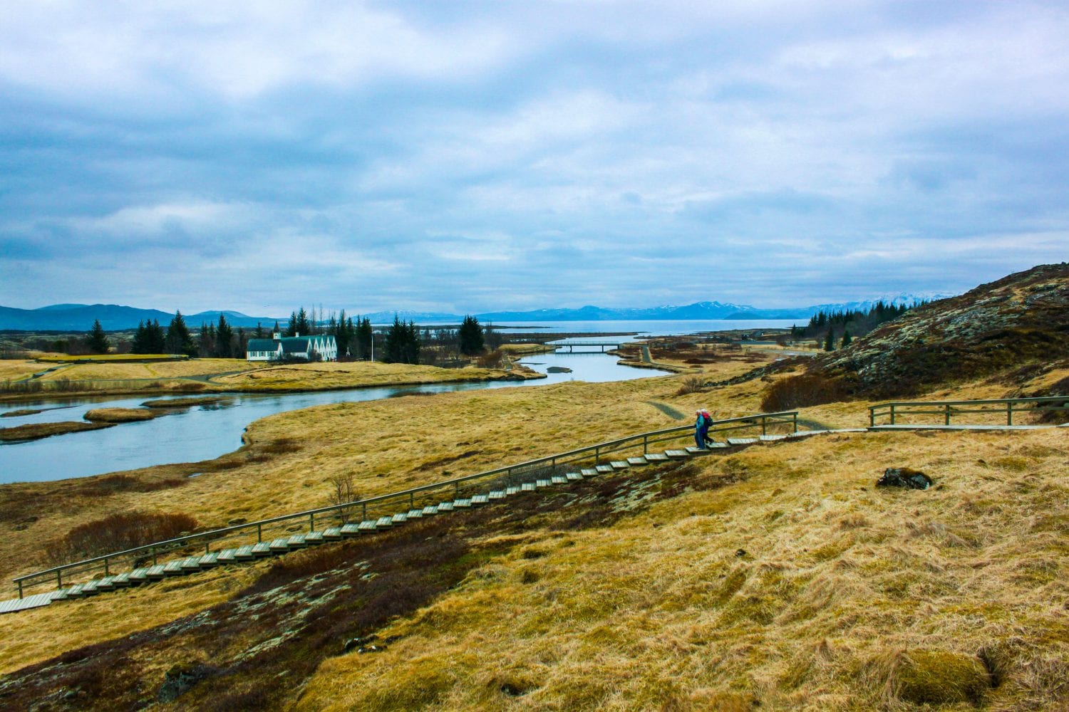
From the church area it’s a short walk to Nikulásargjá, the fissure better known as Peningagjá, the “coin fissure”. The bridge over it was laid in 1907 for the visit of King Frederik VIII of Denmark, and visitors began tossing coins from the bridge afterwards, a habit borrowed from European wishing-well tradition.

The fissure holds a great many coins; whether it holds millions is not something anyone seems to have counted. Past the church the park runs down to Þingvallavatn, Iceland’s largest natural lake. If you want to get into the rift rather than walk beside it, Silfra, a fissure at the lake’s edge, is a snorkelling and diving site run by tour operators, who collect a separate Silfra fee at booking, so reserve ahead.
Haukadalur: the geysers
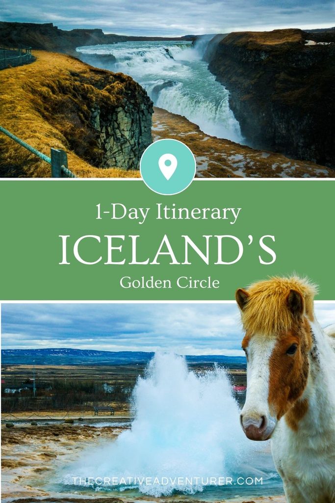
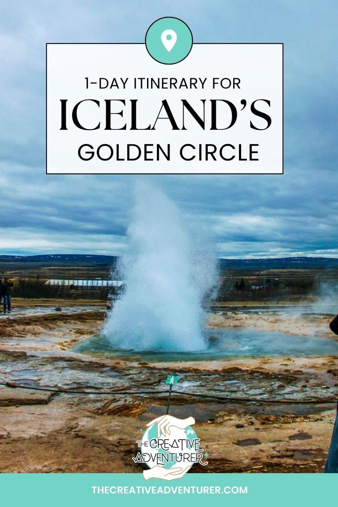
From Þingvellir, the road runs about an hour east to the Haukadalur valley, where the English word “geyser” comes from. It derives from the Old Norse verb geysa, “to gush”, by way of the Great Geysir, the first geyser known to Europeans. The Great Geysir itself is now mostly dormant, with occasional earthquake-driven revivals, so the one you’ll actually watch is Strokkur (“the churn”), about 50 metres away. A local committee cleared its blocked conduit in 1963, and it has been erupting ever since.
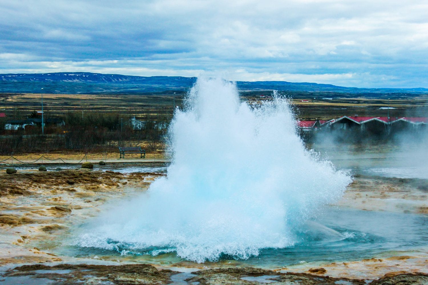
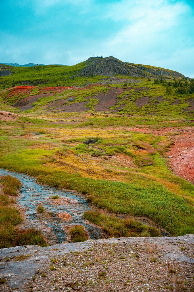
Strokkur goes off every five to ten minutes, throwing water 15 to 30 metres into the air, and a visit works the same way every time. The pool in the vent swells into a dome and then bursts upward, and the collective gasp from the crowd along the rope is nearly as good as the eruption. Stand upwind, because the spray is scalding on the way down. A short boardwalk loop goes past Litli-Geysir (“Little Geysir”), which bubbles away without erupting, and the turquoise twin pools of Blesi, and a thin line of steam rises from smaller vents across the grass. Walking from the car park to Strokkur takes about five minutes, and 45 minutes to an hour covers several eruptions and the loop.
Gullfoss: the river that nearly became a dam
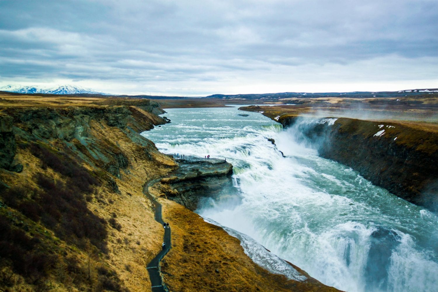
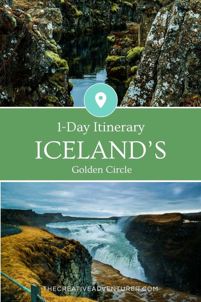
Gullfoss is about ten minutes up Route 35 from Geysir. The river here is the Hvítá, a glacial river fed by Langjökull, and it comes down in two stages, first 11 metres and then 21 metres (about 32 in all), before turning at a sharp angle into a canyon roughly 2.5 kilometres long and up to 70 metres deep. Geologists attribute the canyon to glacial floods at the end of the last ice age. Because the river turns, the crevice is hidden from the approach path, and from a distance the water seems to disappear into the ground. Bring a raincoat in any season, since the spray reaches the viewing areas.
Sigríður Tómasdóttir
The falls are intact because of a farmer’s daughter, Sigríður Tómasdóttir (1871–1957) of the Brattholt farm above the canyon. Between 1907 and the early 1920s she fought a lease that would have let investors dam the Hvítá for hydroelectric power, which would have submerged the falls. A frequently told story has her threatening to throw herself into the water if the dam went ahead (a detail worth treating as local legend rather than record). The dam was never begun, Gullfoss eventually passed to the Icelandic state, and it has been protected since 1979. A memorial to her stands near the falls.
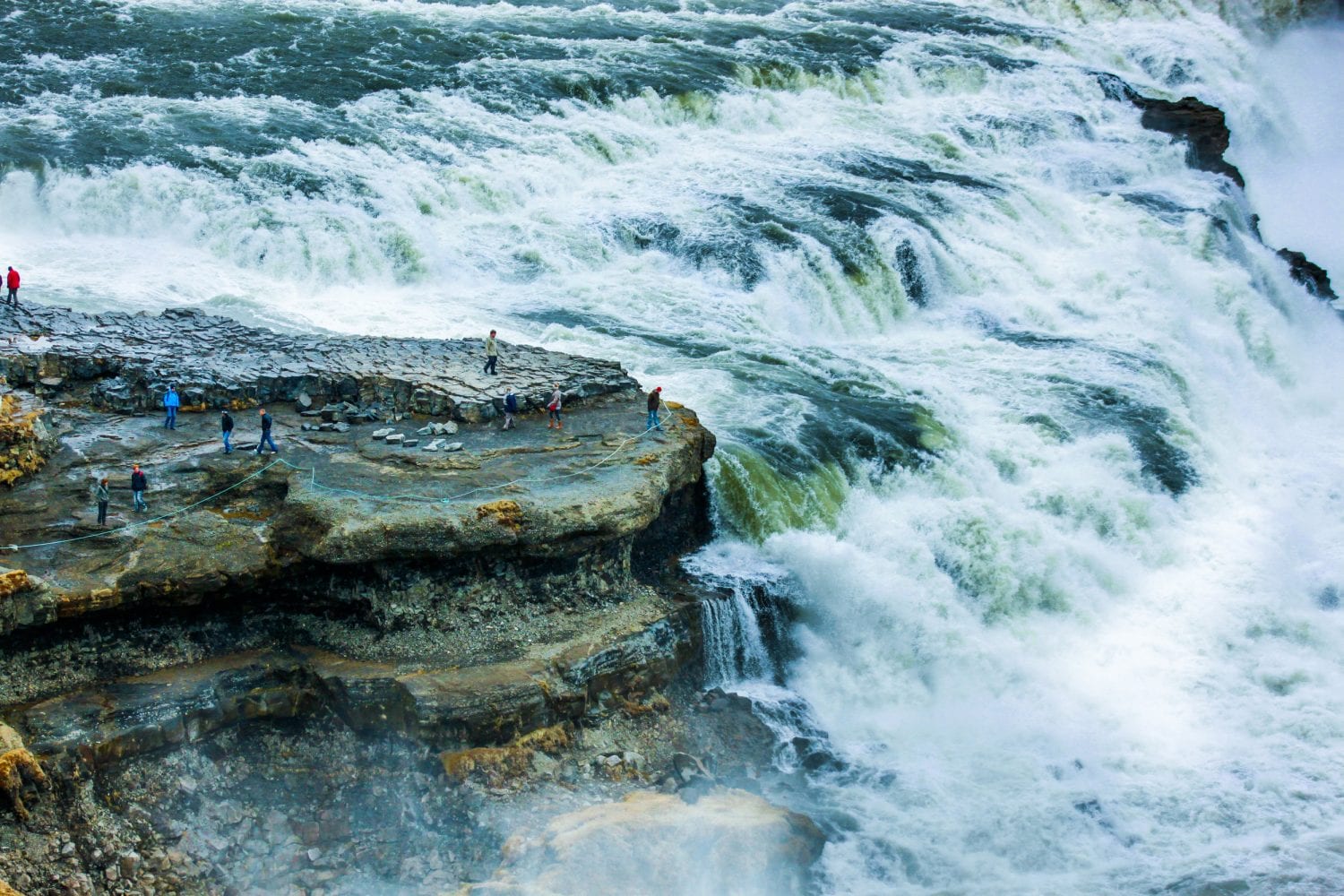
There are upper and lower viewing areas. The upper platform, beside the visitor centre, gives the wide view down the canyon, while the lower path in summer takes you close to the first tier and into the spray. The lower path is usually closed in winter because of ice, and conditions vary, so check before planning around it. The visitor centre has a café that serves kjötsúpa, the Icelandic lamb soup, and a vegan soup as well, which is a reasonable way to dry off after a damp walk along the canyon rim.

A roadside stop for Icelandic horses
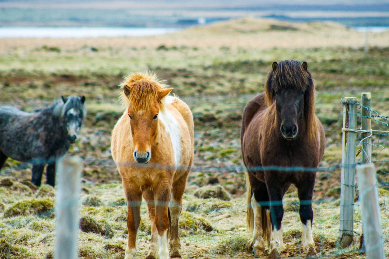
On the road between Gullfoss and Kerið you’re likely to pass fields of Icelandic horses, short and shaggy, and the stop is worth making wherever it’s safe to pull over. The breed descends from horses the Norse settlers brought over in the ninth century, and its purity has legal backing: in 982 the Alþingi, the same assembly you walked past at Þingvellir, banned the import of other horses. Individual horses can still be exported, but once one leaves it can never legally come back, so the island’s bloodline has stayed closed for over a thousand years. The practical result is a population of small, sturdy animals that look like they’ve been designed for the weather, and a field of them in a light drizzle is hard to drive past.
Kerið: a crater with a lake in it
Kerið sits in the Grímsnes area near Selfoss, roughly an hour from Reykjavík, and it is the one stop on this route where the volcano is the entire attraction. The bowl is about 55 metres deep, with rust-red walls of scoria and basalt, a lake at the bottom whose level follows the water table (somewhere between 7 and 14 metres deep depending on the season), and moss on one gentler slope that makes the descent to the shore easy. Many Icelandic craters are dark, so the red is the draw, set against the blue-green of the lake.

The usual textbook account of how it formed has been revised. Kerið was long labelled an explosion crater, but later studies found no evidence of a large explosion, and the current view is that a cone volcano erupted, emptied its magma reserve and collapsed. Even the age is unsettled: published estimates run from about 3,000 to 9,000 years, with roughly 6,500 the figure most often given. Either way it predates human settlement of Iceland by a wide margin.
A path circles the rim in 15 to 20 minutes at an easy pace, and you can walk down to the water. The crater is on private land, so there is an entrance fee, listed at 700 ISK in spring 2026 (worth confirming, since other sources still quote lower figures), while parking is free.

Hellisheiði: the heat put to work
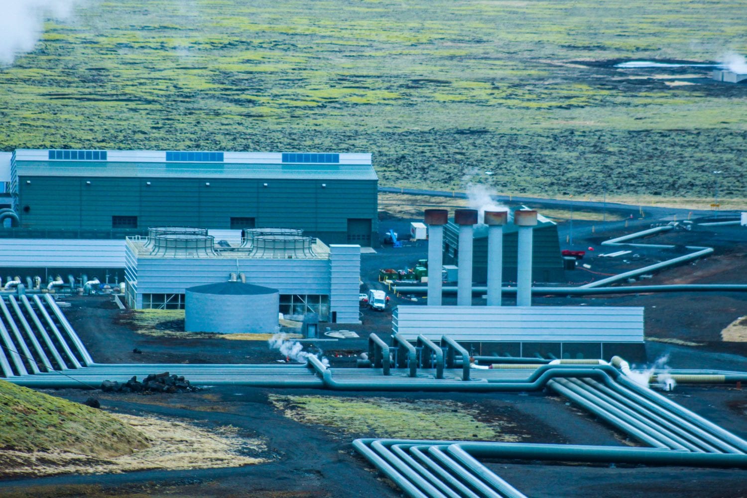
The last stop is on Route 1, about 20 minutes from Reykjavík, at the Hellisheiði geothermal power plant, the largest in Iceland, owned and operated by ON Power (Orka náttúrunnar). It generates up to 303 megawatts of electricity for the national grid and supplies hot water to the capital region, and the Geothermal Exhibition inside the plant covers the geology, the engineering and the history behind it. Taken together, Iceland’s geothermal plants supply about 30 per cent of the country’s electricity and 90 per cent of its space heating. The exhibition also explains Carbfix, a project developed at the plant that turns carbon dioxide into rock. It’s a useful corrective to the rest of the day: Strokkur is what the heat looks like when it escapes, and this is what it looks like when somebody has plumbed it into a radiator.
Moss Messages
On the drive back, keep an eye on the moss-covered hills beside the road. Visitors have a habit of tearing up the moss to spell out names and messages, and the damage is slow to mend, since moss can take decades to regrow. In 2017 Orka náttúrunnar sent crews to repair a hill beside Nesjavallaleið after someone wrote a crude message in it, and the company said it would publish a video showing others how to fix this kind of vandalism. Older lettering from earlier generations of visitors is still legible on hills around the country.

On our drive back to Reykjavík I found the older inscriptions oddly affecting, short messages from people long gone, shouting across an empty landscape. That doesn’t mean you should add one.
The day runs in a loop that is easier to see once you’ve done it. It starts at Þingvellir, where the ground is still pulling apart and Icelanders once gathered at the edge of the crack to make their own laws, and it ends at a power plant that pipes heat from the same volcanic system into the capital’s radiators. In between, a farmer’s daughter keeps a dam off Gullfoss, a geyser lends English a word, and a closed horse population carries on a ninth-century arrangement under a law passed at Þingvellir. Whether you do it by rental car or with a driver telling sagas in the front seat, the order matters more than the number of stops, since it moves from the geology to the people who built a country on top of it.
Happy Travels, Adventurers





3 COMMENTS
guide.trip@mail.com
8 years agoBook Golden Circle Iceland Tour with great deals at tripguide.is. Here you can get excellent deals with beautiful views, waterfall and erupting geysers, with snorkeling in Silfra Fissure, located at Thingvellir National Park and many more attractive things to see in Iceland.
laura.f.whelan@gmail.com
8 years agoThanks for the suggestion! What is your favourite location on the tour?
alex@worldwidetravel.tips
7 years agoHi Laura, we did a 10 day tour in Iceland in 2018, and reading your article about the Golden Circle Iceland Tour was so nice because it brought back memories from our trip. We like it especially because you wrote it so nice, well documented all areas on the Golden Circle and posted some great photos from your trip. The two places we liked most was the Geyser Area and Thingvellir National Park. We were also very lucky and we saw the Northern Lights during our trip and we wrote a detailed article on about our 10 day trip and also on the Aurora Borealis and the best time of year when you can see the Northern Lights in Iceland.